


Reise know how Zuid-Amerika|Wegenkaart Colombia
€9.19
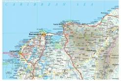
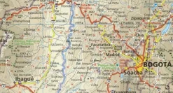
Uitstekende wegenkaart van Colombia:
- schaal 1:1.400.000 (1 cm =14 km)
- gedrukt op waterproof en scheurbestendig papier
- GPS-compatible
- hoogtelijnen en uitgebreid wegennetwer
- afstanden tussen belangrijke plaatsen
- reliëfversschillen aangegeven dmv kleurgebruik
- rustig kaartbeeld
Topography is indicated by altitude colouring with numerous spot heights and names of mountain ranges and passes. Salt lakes, swamps, seasonal rivers and glacier are also shown. Detailed presentation of the road network includes minor roads and tracks and railways are also shown.
Internal administrative units are presented with their boundaries and names. National parks and other protected areas are highlighted. A wide range of symbols mark various places of interest. Map legends include English and all the maps have an index of localities.
Bekijk alle
PRODUCTINFORMATIE REISE KNOW HOW WEGENKAART COLOMBIA
Be the first to review “Reise know how Zuid-Amerika|Wegenkaart Colombia”
Related products
Boeken & Kaarten
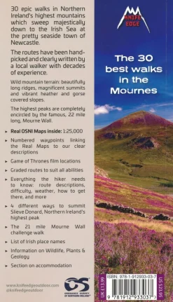
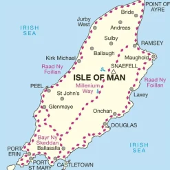
Knife Edge Groot-Brittanië & Ierland|Wandelgids Northern Ireland – The Mourne Mountains

Boeken & Kaarten
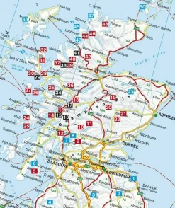
Michelin Groot-Brittanië & Ierland|Groene Reisgids Weekend Edinburgh
Boeken & Kaarten
Boeken & Kaarten

Boeken & Kaarten
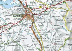
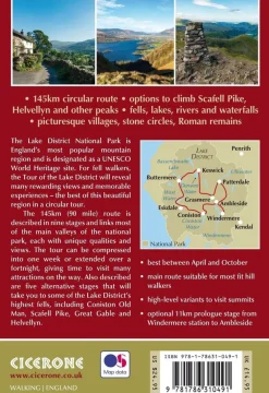
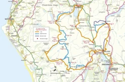
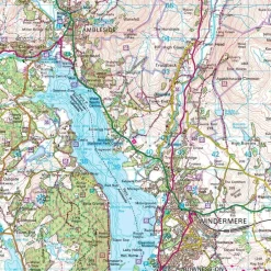
Cicerone Groot-Brittanië & Ierland|Wandelgids Walking the Tour of the Lake District
Boeken & Kaarten
Boeken & Kaarten
Boeken & Kaarten
Boeken & Kaarten
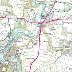
Harvey Maps Groot-Brittanië & Ierland|Wandelkaart Ultramap XT40 Yorkshire Dales South West
Login
Reviews
There are no reviews yet.