
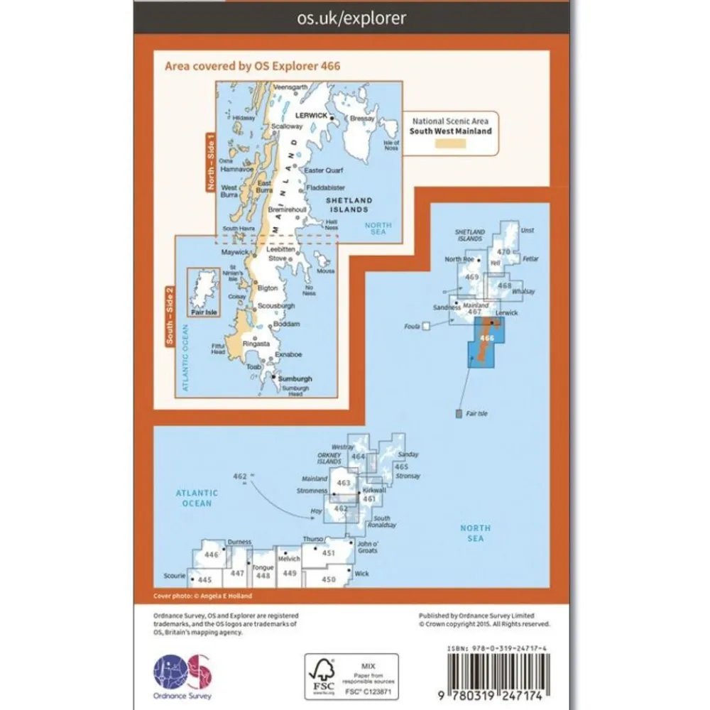


Ordnance Survey Groot-Brittanië & Ierland|Wandelkaart Explorer OL466 Shetland Mainland South
Original price was: €21.16.€16.46Current price is: €16.46.
Wandelkaart Explorer OL466 Shetland Mainland South:
Plaatsen op de kaart: Lerwick, Sumburgh & Fair Isle
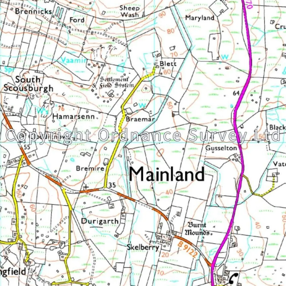
- Schaal 1:25.000 (1 cm = 250 m)
- Public right of ways
- Places of interest
- Wandelpaden
- Landschappelijke afbakeningen zoals heggetjes
- Natuurlijke verschijnselen zoals steenval, kliffen e.d.
- Symbolen voor accommodatie
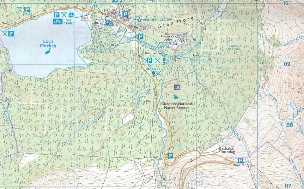
The southern end of the Setland Isles’ mainland, OS Explorer map 466 is the ideal companion for walking, cycling, birdwatching and any outdoor pursuits. This map includes Lerwick, Fair Isle and the National Scenic Area.
Bekijk alle
PRODUCTINFORMATIE ORDNANCE SURVEY WANDELKAART EXPLORER OL466 SHETLAND MAINLAND SOUTH
Be the first to review “Ordnance Survey Groot-Brittanië & Ierland|Wandelkaart Explorer OL466 Shetland Mainland South”
Related products
Boeken & Kaarten


Boeken & Kaarten
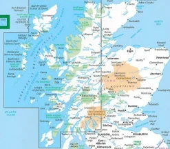
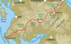
Freytag en Berndt Groot-Brittanië & Ierland|Wegenkaart Schotland

Boeken & Kaarten
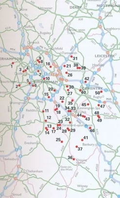
AA Publishing Groot-Brittanië & Ierland|50 Walks in Warwickshire & the West Midlands
Boeken & Kaarten
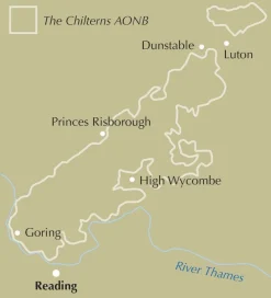
Boeken & Kaarten
Harvey Maps Groot-Brittanië & Ierland|Wandelkaart Ultramap XT40 Yorkshire Dales South West


Boeken & Kaarten
Boeken & Kaarten
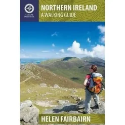
Collins Groot-Brittanië & Ierland|Walking guide to Northern Ireland


Boeken & Kaarten
Harvey Maps Groot-Brittanië & Ierland|Wandelkaart Ultramap XT40 Peak District Central
Login
Reviews
There are no reviews yet.