

Ordnance Survey Groot-Brittanië & Ierland|English lakes-South eastern area active 007 1/25
€21.15
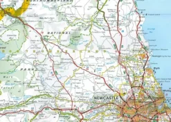
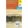
OL7 – The English Lakes – South Eastern area Explorer Active Map
1:25 000 scale (4 cm to 1 km 2.5 inches to 1 mile) – The essential map for outdoor activities.
OS Explorer Map is the Ordnance Surveys most detailed folding map and is recommended for anyone enjoying outdoor activities including walking, horse riding and off-road cycling. Providing complete GB coverage, the OS Explorer map series details information essential in the great outdoors, including youth hostels, pubs and visitor information. Rights of way, fences, permissive paths and bridleways are clearly shown, ensuring you have the best information to get the most out of your time in the countryside.
Customers can now discover the landscape in all weathers thanks to OS Explorer Map – Active, a durable and weatherproof version of the OS Explorer map.
OL7 The English Lakes – South Eastern area featuring:-
- Dales Way
- Cumbria Way (Guide Book)
- Dales Way (Guide Book)
- Limestone Link (Cumbria)
- Cistercian Way
- Cumbria Coastal Way
- Lune Valley Ramble
- Kendal
- Windermere
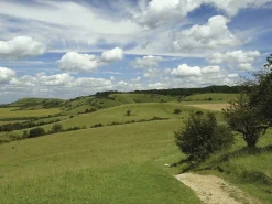
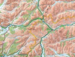
- Lake District National Park
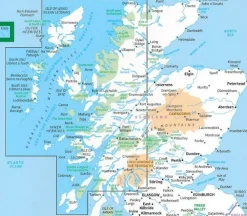
- Cumbria
- Lancashire
How to access the digital version of this map
This map comes with a digital version which you can download to your smartphone or tablet.
Go to OS.uk/redeem for more details (terms and conditions apply).
Scratch off the panel on the inside cover of the map to reveal a code, you are then just three easy steps away from downloading your digital map. If the scratch panel has already been scratched off or if you have any problems downloading your map, please call the OS Customer Service Centre on 03456 050505.
Neighbouring maps
To make life easy, you will find all the neighbouring maps as well as the lower cost paper edition of this map in the related products section below.
Map Reading
For a quick and easy guide to map reading, check out this online booklet from Ordnance Survey.
Bekijk alle
PRODUCTINFORMATIE ORDNANCE SURVEY ENGLISH LAKES-SOUTH EASTERN AREA ACTIVE 007 1/25
Be the first to review “Ordnance Survey Groot-Brittanië & Ierland|English lakes-South eastern area active 007 1/25”
Related products

Boeken & Kaarten
Boeken & Kaarten
Knife Edge Groot-Brittanië & Ierland|Wandelgids Northern Ireland – The Mourne Mountains
Boeken & Kaarten
Boeken & Kaarten
Boeken & Kaarten
Boeken & Kaarten
Boeken & Kaarten
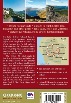
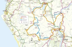
Cicerone Groot-Brittanië & Ierland|Wandelgids Walking the Tour of the Lake District
Boeken & Kaarten
AA Publishing Groot-Brittanië & Ierland|50 Walks in Warwickshire & the West Midlands

Boeken & Kaarten
Mountainmedia Groot-Brittanië & Ierland|Scotland end to end Gore-Tex


Boeken & Kaarten
Freytag en Berndt Groot-Brittanië & Ierland|Wegenkaart Schotland

Boeken & Kaarten
Bantam Press Groot-Brittanië & Ierland|A Curious guide to London
Login
Reviews
There are no reviews yet.