


National Geographic Verenigde Staten|Wandelkaart 307 Yosemite Northwest
€11.03
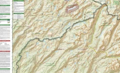
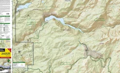
Topografische wandelkaart 307, scheurbestendig en watervast, van Hetch Hetchy Reservoir in het noordwesten van Nationaal Park Yosemite in Californie.
- gedrukt op waterproof en scheurbestendig papier
- met ingetekende wandelpaden en campsites
- schaal 1:40.000 (1 cm = 400 m)
- hoogtelijnen
- mooi kleurgebruik
Coverage of the Yosemite Valley and Wawona area of Yosemite National Park includes Sierra National Forest, Yosemite Wilderness, Stanislaus National Forest. Yosemite Valley, Pioneer Yosemite History Center, Badger Pass Ski Area. Includes UTM grids for use with your GPS unit.
Bekijk alle
PRODUCTINFORMATIE NATIONAL GEOGRAPHIC WANDELKAART 307 YOSEMITE NORTHWEST
Be the first to review “National Geographic Verenigde Staten|Wandelkaart 307 Yosemite Northwest”
Related products


Boeken & Kaarten
Bantam Press Groot-Brittanië & Ierland|A Curious guide to London
Boeken & Kaarten
AA Publishing Groot-Brittanië & Ierland|50 Walks in Warwickshire & the West Midlands

Boeken & Kaarten
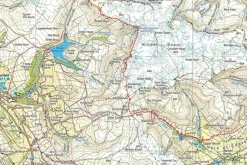
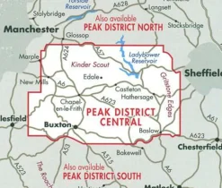
Harvey Maps Groot-Brittanië & Ierland|Wandelkaart Ultramap XT40 Peak District Central

Boeken & Kaarten
Boeken & Kaarten
Boeken & Kaarten
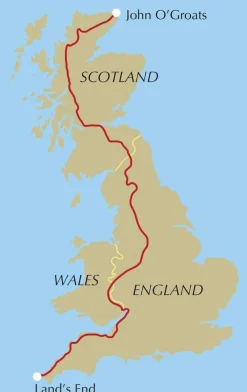
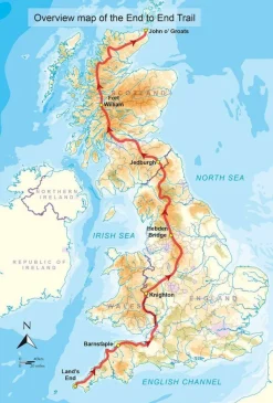
Cicerone Groot-Brittanië & Ierland|Wandelgids End to End Trail
Boeken & Kaarten
Boeken & Kaarten
Boeken & Kaarten
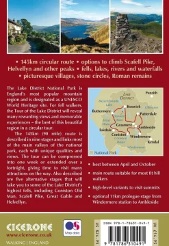
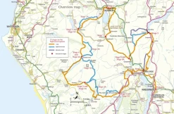
Cicerone Groot-Brittanië & Ierland|Wandelgids Walking the Tour of the Lake District
Boeken & Kaarten

Boeken & Kaarten
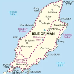
Mountainmedia Groot-Brittanië & Ierland|Scotland end to end Gore-Tex

Boeken & Kaarten
Michelin Groot-Brittanië & Ierland|Groene Reisgids Weekend Edinburgh
Boeken & Kaarten
Login
Reviews
There are no reviews yet.