

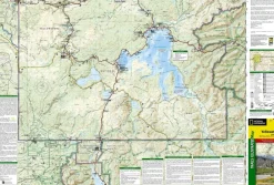
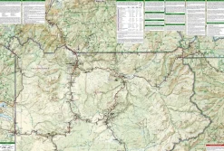
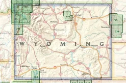
National Geographic Verenigde Staten|Wandelkaart 201 Yellowstone National Park
Original price was: €13.80.€10.11Current price is: €10.11.
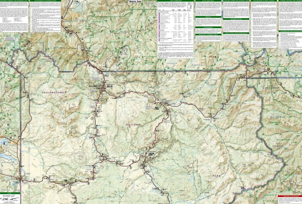
Gedetaileerde wandelkaart van het gehele Yellowstone National Park.
- gedrukt op waterproof en scheurbestendig papier
- met ingetekende wandelpaden en campsites
- schaal 1:126.720 (1 cm = 1,27 km)
- hoogtelijnen
- mooi kleurgebruik
- GPS-compatible
Detailed and accurate coverage for Yellowstone National Park. Includes a detailed road network and popular trails, complete with use restrictions, mileages, elevation gains, and difficulty ratings. Popular attractions and park services are clearly identified. UTM and Latitude/Longitude grids ensure ease of use with GPS or compass navigation.
Bekijk alle
PRODUCTINFORMATIE NATIONAL GEOGRAPHIC WANDELKAART 201 YELLOWSTONE NATIONAL PARK
| Size | NS |
|---|---|
| Color | diverse |
Be the first to review “National Geographic Verenigde Staten|Wandelkaart 201 Yellowstone National Park”
Related products
Boeken & Kaarten

Boeken & Kaarten
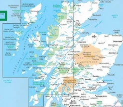
Mountainmedia Groot-Brittanië & Ierland|Scotland end to end Gore-Tex

Boeken & Kaarten
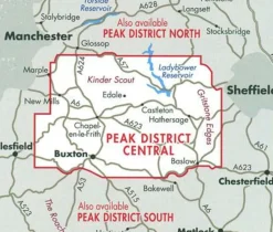
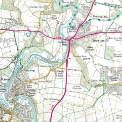
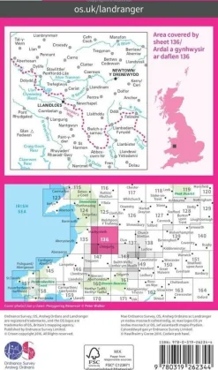
Harvey Maps Groot-Brittanië & Ierland|Wandelkaart Ultramap XT40 Peak District Central

Boeken & Kaarten
Bantam Press Groot-Brittanië & Ierland|A Curious guide to London
Boeken & Kaarten
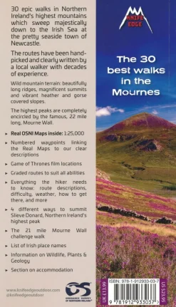
Knife Edge Groot-Brittanië & Ierland|Wandelgids Northern Ireland – The Mourne Mountains

Boeken & Kaarten
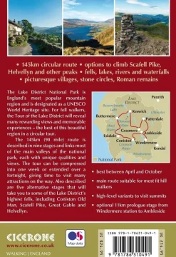
Cicerone Groot-Brittanië & Ierland|Wandelgids Walking the Tour of the Lake District
Boeken & Kaarten
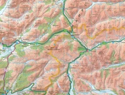
Harvey Maps Groot-Brittanië & Ierland|Wandelkaart Ultramap XT40 Yorkshire Dales South West
Boeken & Kaarten


Boeken & Kaarten
Reviews
There are no reviews yet.