
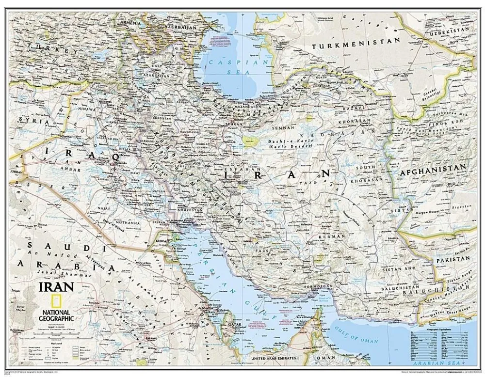
National Geographic Midden-Oosten|Wandkaart Iran Classic 77 x 60 cm
Original price was: €20.24.€14.71Current price is: €14.71.
Wandkaart van Iran met een klassieke look.
- Afmetingen 77 x 60 cm
- Geleverd in plastic koker.
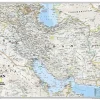
This new map of Iran, features the classic National Geographic reference styling. Features thousands of place names, accurate political boundaries, national parks, archeological sites, and major infrastructure networks such as roads, canals, ferry routes, and railroads. Iran’s diverse terrain is detailed through accurate shaded relief, coastal bathymetry, and symbolism for water features and other landforms. This map also includes table of geographic equivalents translated into English. Elevations of major peaks and depth soundings are expressed in meters. In addition, the bordering countries of Iraq, Turkey, Armenia, Azerbaijan, Turkmenistan, Afghanistan, and Pakistan are shown as well as outlying countries including Syria, Uzbekistan, United Arab Emirates, Oman, Kuwait, and Saudi Arabia.
Map is printed on premium quality paper stock, rolled, and packaged in a clear, hard plastic tube.
Bekijk alle
PRODUCTINFORMATIE NATIONAL GEOGRAPHIC WANDKAART IRAN CLASSIC 77 X 60 CM
Be the first to review “National Geographic Midden-Oosten|Wandkaart Iran Classic 77 x 60 cm”
Related products
Boeken & Kaarten

Boeken & Kaarten
Bantam Press Groot-Brittanië & Ierland|A Curious guide to London


Boeken & Kaarten
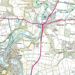
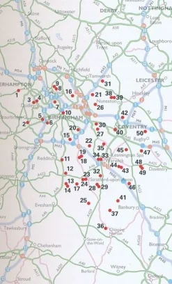
AA Publishing Groot-Brittanië & Ierland|50 Walks in Warwickshire & the West Midlands
Boeken & Kaarten
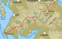
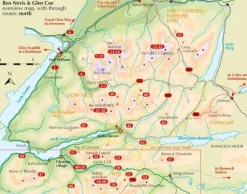
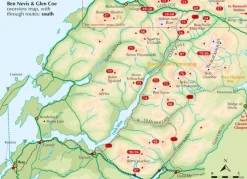
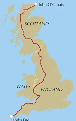
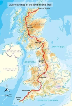
Cicerone Groot-Brittanië & Ierland|Wandelgids End to End Trail

Boeken & Kaarten


Boeken & Kaarten
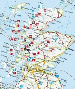
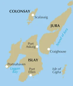
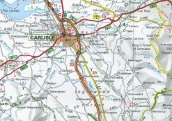
Freytag en Berndt Groot-Brittanië & Ierland|Wegenkaart Schotland
Login
Reviews
There are no reviews yet.