
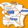
Michelin Spanje & Portugal|Wegenkaart 573 Baskenland, Navarra & Rioja
Original price was: €13.80.€10.11Current price is: €10.11.
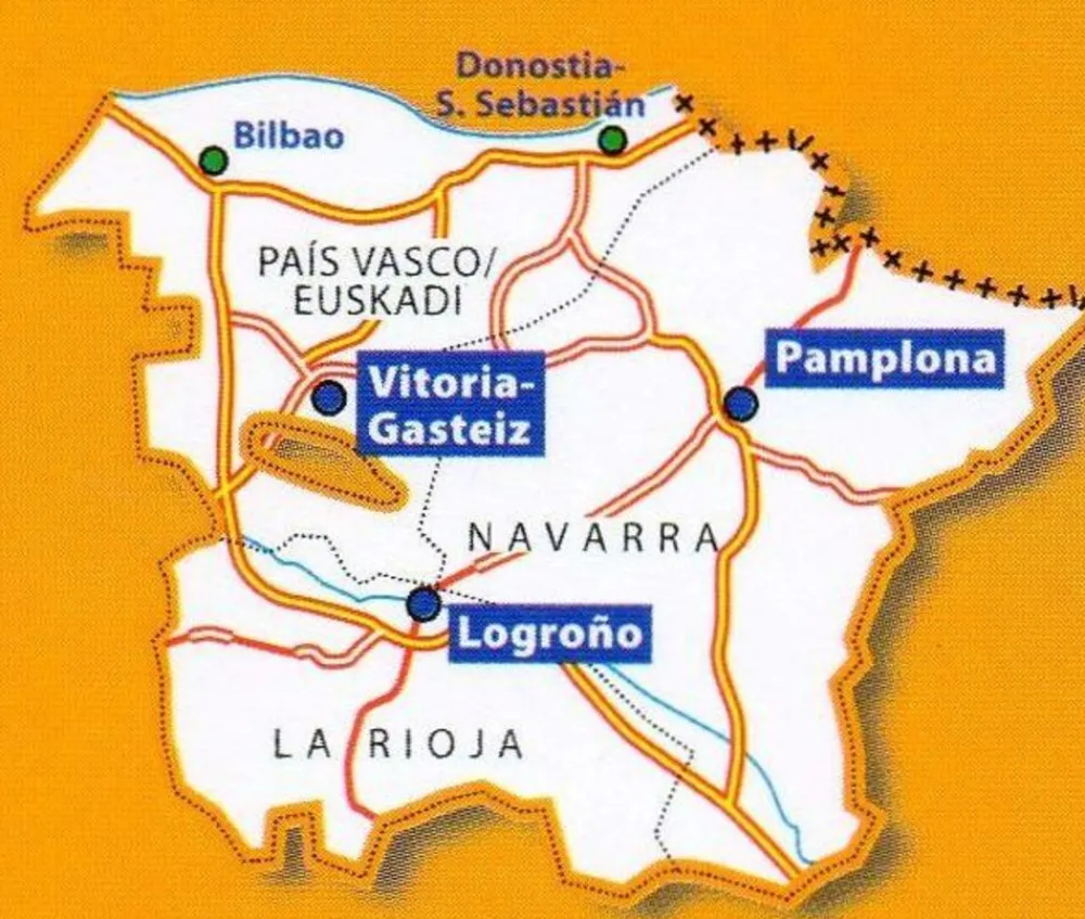
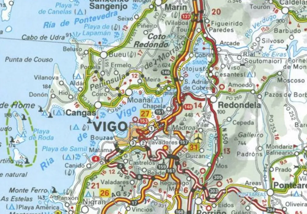
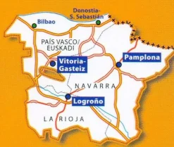
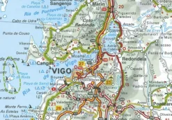
Wegenkaart 573 Baskenland, Euskadi, Navarra, La Rioja
-schaal 1:250.000
-pittoreske wegen groen gearceerd
-campings
-afstandentabel grote plaatsen
-hoogte bergpassen
-percentages steile wegen
-stadsplattegronden Bilbao Donistia San Sebastian Pamplona
Part of the orange regional series from Michelin, this Pais Vasco / Euskadi, Navarra, La Rioja map shows this part of Spain in excellent detail. Primary & secondary road networks are clearly marked out with indications of the number of lanes, intermediate distances and various possible road obstacles or things you should know including steep hills, height limits, toll barriers, prohibited roads and roads subject to restrictions.
The map also includes small insets with street plans of Bilbao, Donostia-San Sebastian, Pamplona and Vitoria-Gasteiz, showing road names, one way streets and various places of interest (tourist sights, hospitals, parking, railway stations, etc.). Scenic routes on the map are marked out in green and an extensive index of place names is included.
The map also features:
Administrative boundaries
Railways, Airports and Ferry Services
Important sights such as castles, ruins, and churches
Driving Times and Distance Charts
Road Safety Information
A legend in multiple languages, including English
Bekijk alle
PRODUCTINFORMATIE MICHELIN WEGENKAART 573 BASKENLAND, NAVARRA & RIOJA
Be the first to review “Michelin Spanje & Portugal|Wegenkaart 573 Baskenland, Navarra & Rioja”
Related products
Boeken & Kaarten
Boeken & Kaarten
Michelin Groot-Brittanië & Ierland|Groene Reisgids Weekend Edinburgh
Boeken & Kaarten
Boeken & Kaarten
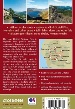
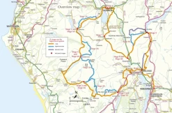
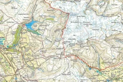
Cicerone Groot-Brittanië & Ierland|Wandelgids Walking the Tour of the Lake District
Boeken & Kaarten
Harvey Maps Groot-Brittanië & Ierland|Wandelkaart Ultramap XT40 Yorkshire Dales South West
Boeken & Kaarten
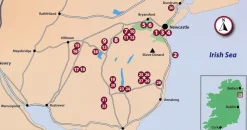
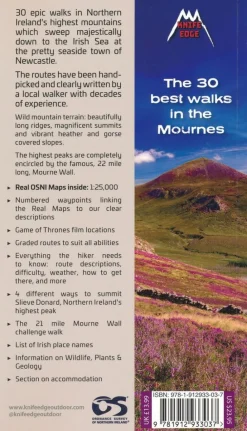
Knife Edge Groot-Brittanië & Ierland|Wandelgids Northern Ireland – The Mourne Mountains
Boeken & Kaarten
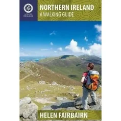
Collins Groot-Brittanië & Ierland|Walking guide to Northern Ireland


Boeken & Kaarten
Login
Reviews
There are no reviews yet.