


Michelin Balkan, Griekenland & Cyprus|Wegenkaart 737 Griekenland
Original price was: €13.80.€10.94Current price is: €10.94.
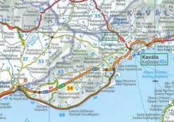
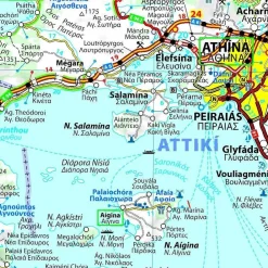
Wegenkaart 737 van Griekenland:
- schaal 1:700.000 (1 cm = 7 km)
- afstandentabel
- pittoreske wegen groen gearceerd
- afstanden tussen plaatsen
- plaatsenregister
- basiswoordenschatlijst
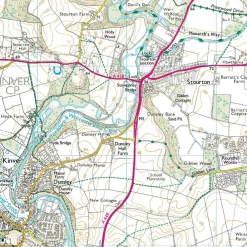
This Greece map from Michelin is part of their red national map series. These are perfect for route planning as well as getting around by car once you’re there. They clearly mark out major roads and also show many of the more important minor roads.
The map’s simple folding design with durable paper cover, allows it to be read like a book and easily folded back together. Road numbers and intermediate distances are clearly displayed with the more scenic routes highlighted in green.
The map also features:
- Political boundaries
- Regional and National Parks
- Important sights such as castles, ruins, and churches
- Driving Times and Distances
- Road Safety Information
- A legend in multiple languages (Dutch, English, French, German and Spanish)
Bekijk alle
PRODUCTINFORMATIE MICHELIN WEGENKAART 737 GRIEKENLAND
Be the first to review “Michelin Balkan, Griekenland & Cyprus|Wegenkaart 737 Griekenland”
Related products


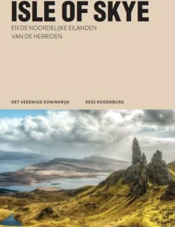
Boeken & Kaarten
Michelin Groot-Brittanië & Ierland|Groene Reisgids Weekend Edinburgh
Boeken & Kaarten
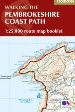
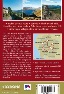
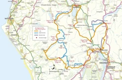
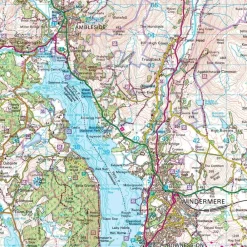
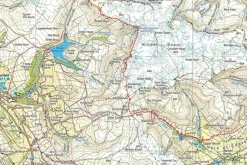
Cicerone Groot-Brittanië & Ierland|Wandelgids Walking the Tour of the Lake District
Boeken & Kaarten
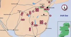
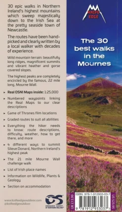
Knife Edge Groot-Brittanië & Ierland|Wandelgids Northern Ireland – The Mourne Mountains
Boeken & Kaarten


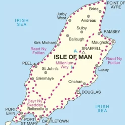
Boeken & Kaarten
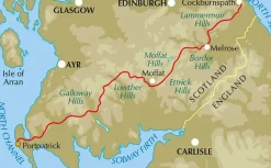
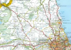
Freytag en Berndt Groot-Brittanië & Ierland|Wegenkaart Schotland

Boeken & Kaarten
Boeken & Kaarten
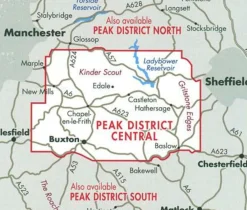
Harvey Maps Groot-Brittanië & Ierland|Wandelkaart Ultramap XT40 Peak District Central
Boeken & Kaarten
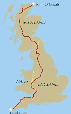
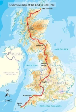
Cicerone Groot-Brittanië & Ierland|Wandelgids End to End Trail
Login
Reviews
There are no reviews yet.