

Karttakeskus FInland Scandinavië & Ijsland|Wandelkaart Utsjoki Kevo
€14.62
Topografische wandelkaart van Utsjoki – Kevo:
- Gedrukt op waterproof en scheurbestendig papier
- Schaal 1:100.000
- Fietskaart, wandelkaart, kanokaart
- Hoogtelijn
- UTM-grid
- Taal: Fins, Engels, Duits
- Ingetekende wandelpaden, langlaufroutes
- Afstanden aangegeven
- Hotels, campings, cafe’s, restaurant, VVV, winkels etc.
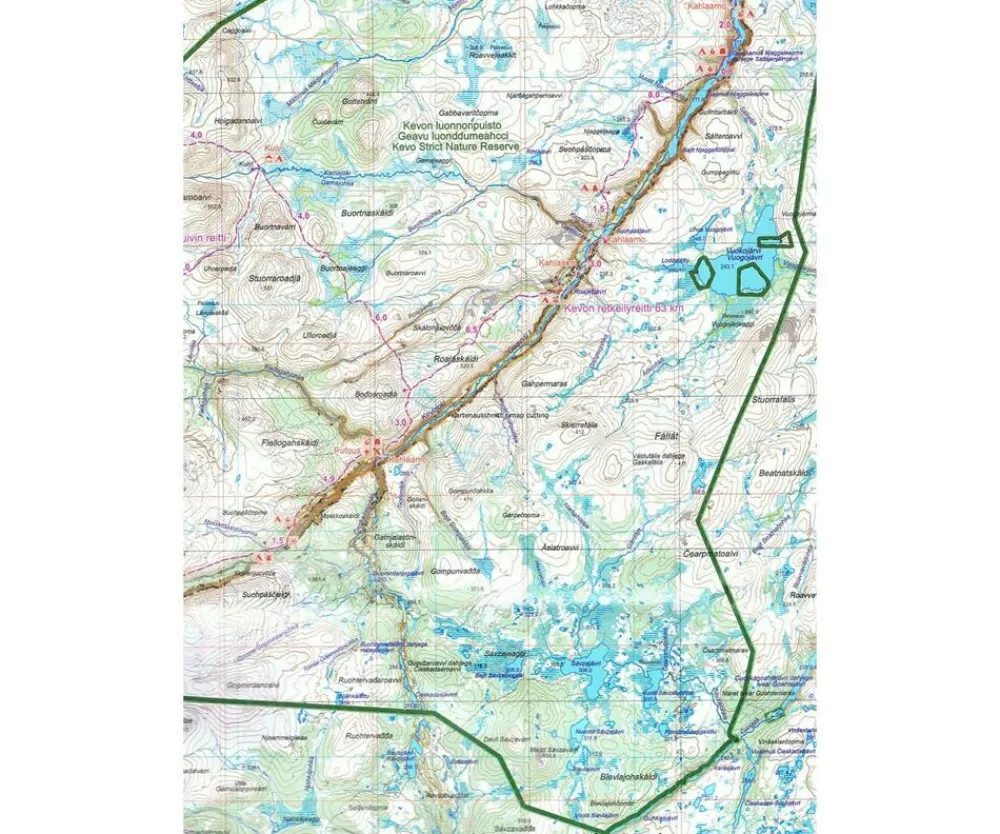
The card provides you with a comprehensive, detailed overview of hiking and skiing opportunities, nature trails and snowmobile trails in the area Utsjoki Kevo, which is located in the far north to the Norwegian border. The Utsjoki Kevo region comprises approximately one climes of Utsjoki Mieraslompola, Karigasnjemi, Rovisuvanto and Outakoski. In the area there is the Kevo Nature Park and the nature reserve Paistunturi. In addition, the card contains coordinates of open wilderness huts and reservable huts.
Legend contains:
Forests, open ground, agricultural land, bog (difficult or impossible to traverse), bogs (easy to traverse), bare rocks, blockfields, stony grounds, large boulders, buldings, main roads, vehicle tracks, cart tracks, paths, electricity transmission lines, masts, fences, road bars, gates, main contours 100 m, intermediate coontours 10 m, precipices, boundary of strict nature reserve, nature conservation area boundary, boundary of wilderness area, international boundary, communal boundary, springs, river over 5 m wide, river 2-5 m wide, stream less than 2 m wide, skiing routes, hiking routes, hiking and skiing routes, illuminated routes, distance on the trail, nature trail, snowmobile route, distance on the snowmobile route, hotel, holiday village, other accomodation, restaurant, coffee shop, camping site, rental hut, open wilderness hut, Lapland teepee, campfire site, tent area, lean-to shelter, turf hut, viewpoint, sight, program service, tourist information, information board, chruch, postal service point, taxi, repair shop, shop, filliing station, parking area, resting area, customs, boat ramp, ford, bridge.
Bekijk alle
PRODUCTINFORMATIE KARTTAKESKUS FINLAND WANDELKAART UTSJOKI KEVO
Be the first to review “Karttakeskus FInland Scandinavië & Ijsland|Wandelkaart Utsjoki Kevo”
Related products

Boeken & Kaarten
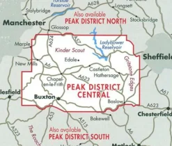
Harvey Maps Groot-Brittanië & Ierland|Wandelkaart Ultramap XT40 Peak District Central
Boeken & Kaarten
Harvey Maps Groot-Brittanië & Ierland|Wandelkaart Ultramap XT40 Yorkshire Dales South West


Boeken & Kaarten
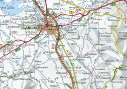
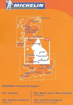
Freytag en Berndt Groot-Brittanië & Ierland|Wegenkaart Schotland
Boeken & Kaarten
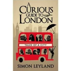
Bantam Press Groot-Brittanië & Ierland|A Curious guide to London

Boeken & Kaarten
Boeken & Kaarten
Boeken & Kaarten
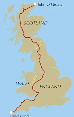
Mountainmedia Groot-Brittanië & Ierland|Scotland end to end Gore-Tex
Boeken & Kaarten
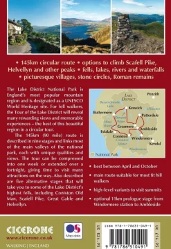
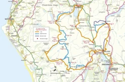
Cicerone Groot-Brittanië & Ierland|Wandelgids Walking the Tour of the Lake District
Boeken & Kaarten
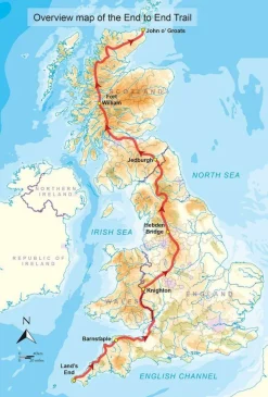
Cicerone Groot-Brittanië & Ierland|Wandelgids End to End Trail


Boeken & Kaarten
Boeken & Kaarten
Login
Reviews
There are no reviews yet.