
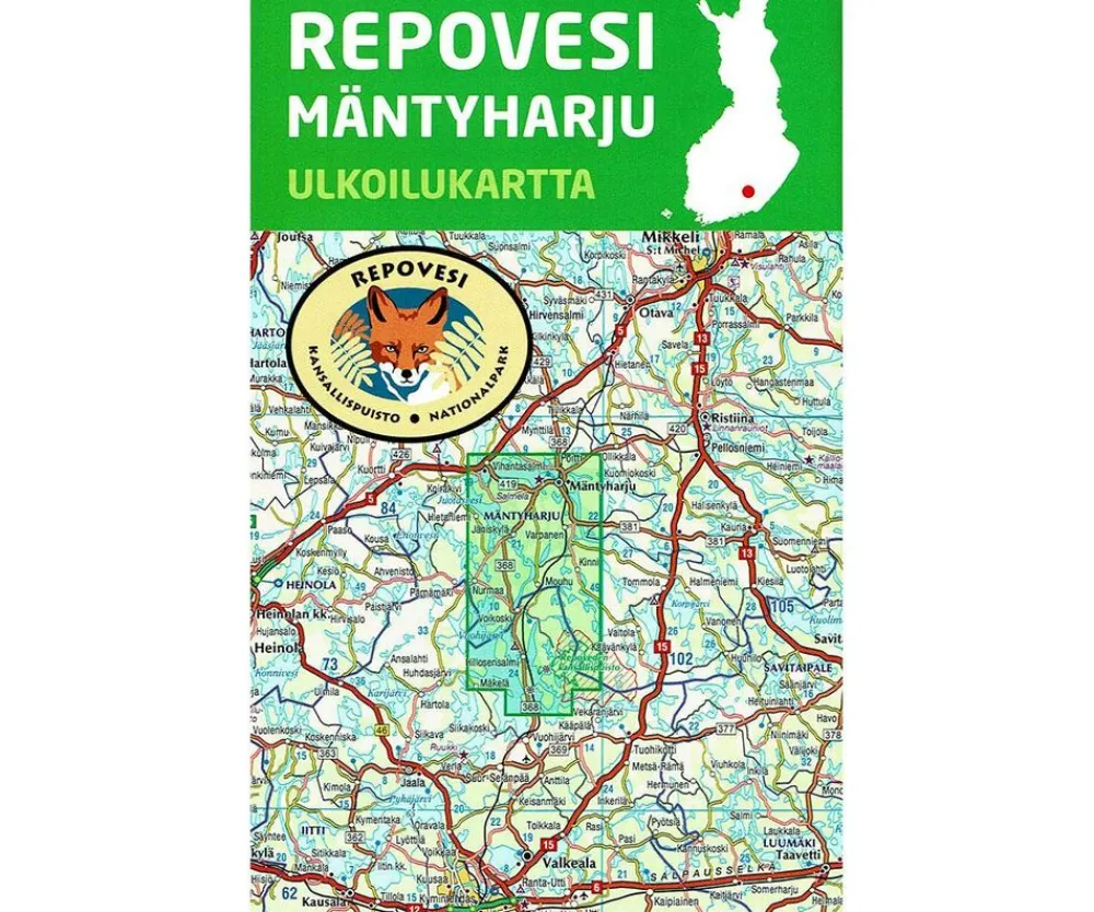
Karttakeskus FInland Scandinavië & Ijsland|Wandelkaart Repovesi Mäntyharju
Original price was: €18.40.€14.71Current price is: €14.71.
Topografische wandelkaart van Repovesi Mäntyharju Nationaal Park:
- Gedrukt op waterproof en scheurbestendig papier
- Schaal 1:50.000
- Fietskaart, wandelkaart, kanokaart
- Hoogtelijn
- UTM-grid
- Taal: Fins, Engels, Duits
- Ingetekende wandelpaden, langlaufroutes
- Afstanden aangegeven
- Hotels, campings, cafe’s, restaurant, VVV, winkels etc.
The card provides you with a comprehensive, detailed overview of hiking, canoe routes and snowmobile trails in the area Repovesi, which is located in the southeast. The Repovesi region comprises approximately one climes of Voikoski, Kuisma, Tihventniemi, Lapinniemi, Hillosensalm and Kauppila. In the area of Repovesi lie Repovesi National Park and the Aarnikotkan nature reserve.
Bekijk alle
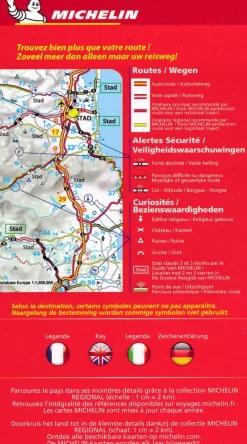
PRODUCTINFORMATIE KARTTAKESKUS FINLAND WANDELKAART REPOVESI MÄNTYHARJU
Be the first to review “Karttakeskus FInland Scandinavië & Ijsland|Wandelkaart Repovesi Mäntyharju”
Related products


Boeken & Kaarten
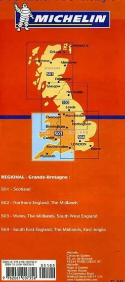
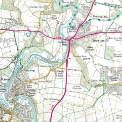
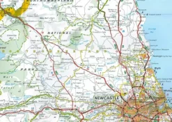
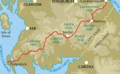
Freytag en Berndt Groot-Brittanië & Ierland|Wegenkaart Schotland
Boeken & Kaarten

Boeken & Kaarten
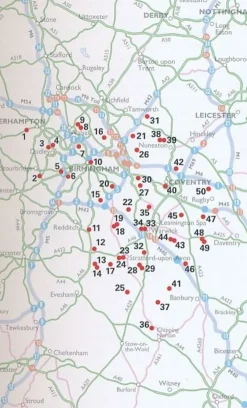
AA Publishing Groot-Brittanië & Ierland|50 Walks in Warwickshire & the West Midlands
Boeken & Kaarten
Boeken & Kaarten
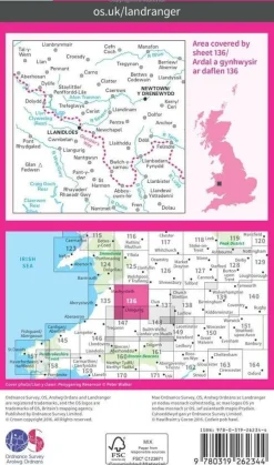
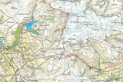
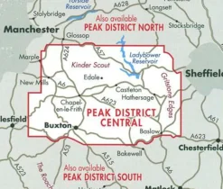
Harvey Maps Groot-Brittanië & Ierland|Wandelkaart Ultramap XT40 Peak District Central
Boeken & Kaarten
Boeken & Kaarten
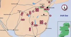
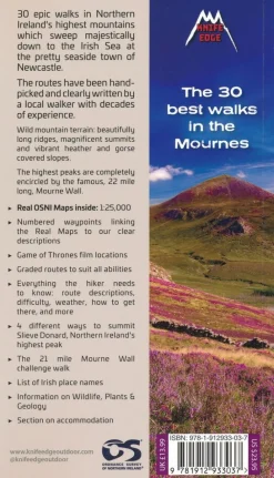
Knife Edge Groot-Brittanië & Ierland|Wandelgids Northern Ireland – The Mourne Mountains


Boeken & Kaarten
Boeken & Kaarten
Login
Reviews
There are no reviews yet.