


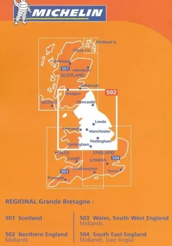
Karttakeskus FInland Scandinavië & Ijsland|Wandelkaart Evo Päijänne Ilvesvaellus
€13.79
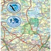
Topografische wandelkaart van Päijänne Nationaal Park:
- Gedrukt op waterproof en scheurbestendig papier
- Schaal 1:25.000
- Fietskaart, wandelkaart, kanokaart
- Hoogtelijn
- UTM-grid
- Taal: Fins, Engels, Duits
- Ingetekende wandelpaden, langlaufroutes
- Afstanden aangegeven
- Hotels, campings, cafe’s, restaurant, VVV, winkels etc.
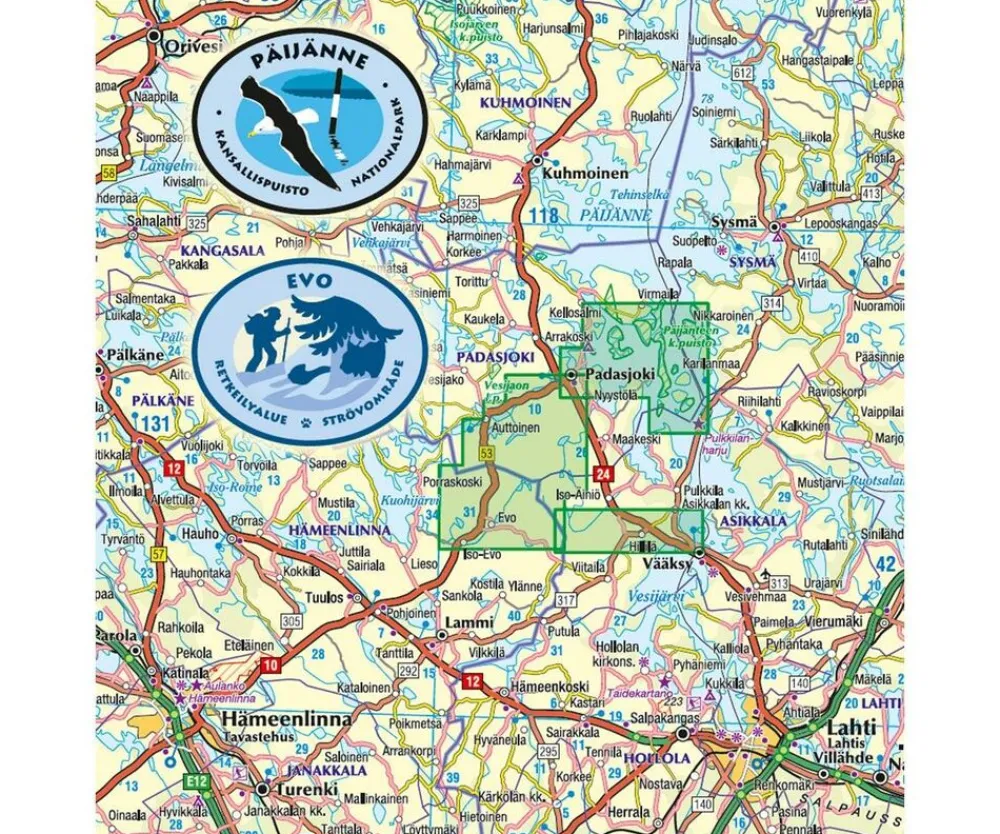
This map gives the hiker or outdoor activist numerous and valuable information for the stay in the national parks to Evo and Padasjoki. The map is very accurate and helps tremendously in planning beautiful tours on the water as well as cross country.
Legend contains:
skiing route, hiking route, nature trail, distance on trail, Holiday village, other accomodation, Restaurant, coffee Shop, camping site, rental hut, Open-wilderness hut, lean-to shelter, guest harbour, museum, sight, Parking area, resting area, campfire site, swimming, forest, open ground, agricultural land, Bog difficult or impossible to traverse, Bog easy to traverse, paludified area, bare rock, blockfield, stony ground, gravel pit, coniferous forest, mixed forest, Main road, vehicle Track, cart track, path, electricity transmission line, Stream or ditch, flow direction, building, index contour 20 m, intermediate contour 5 m, auxiliary contour 2,5m, precipice, boundary of the national park?s zone, Nature reserve, Restricted area, Landing and moving around prohibited 15.4. – 15.7., Hiking area, Forestry training area, military training area, Research water, fishing prohibited, communal boundary,…
Bekijk alle
PRODUCTINFORMATIE KARTTAKESKUS FINLAND WANDELKAART EVO PÄIJÄNNE ILVESVAELLUS
Be the first to review “Karttakeskus FInland Scandinavië & Ijsland|Wandelkaart Evo Päijänne Ilvesvaellus”
Related products
Boeken & Kaarten
Harvey Maps Groot-Brittanië & Ierland|Wandelkaart Ultramap XT40 Yorkshire Dales South West
Boeken & Kaarten
Boeken & Kaarten
Mountainmedia Groot-Brittanië & Ierland|Scotland end to end Gore-Tex
Boeken & Kaarten

Boeken & Kaarten
Boeken & Kaarten
Boeken & Kaarten
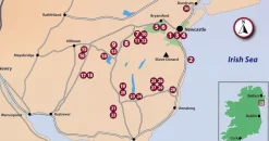
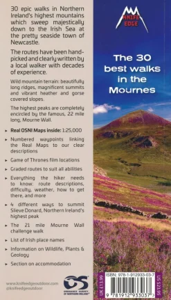
Knife Edge Groot-Brittanië & Ierland|Wandelgids Northern Ireland – The Mourne Mountains
Boeken & Kaarten
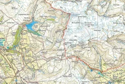
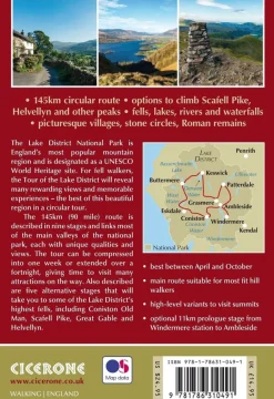
Cicerone Groot-Brittanië & Ierland|Wandelgids Walking the Tour of the Lake District
Boeken & Kaarten
Collins Groot-Brittanië & Ierland|Walking guide to Northern Ireland
Login
Reviews
There are no reviews yet.