
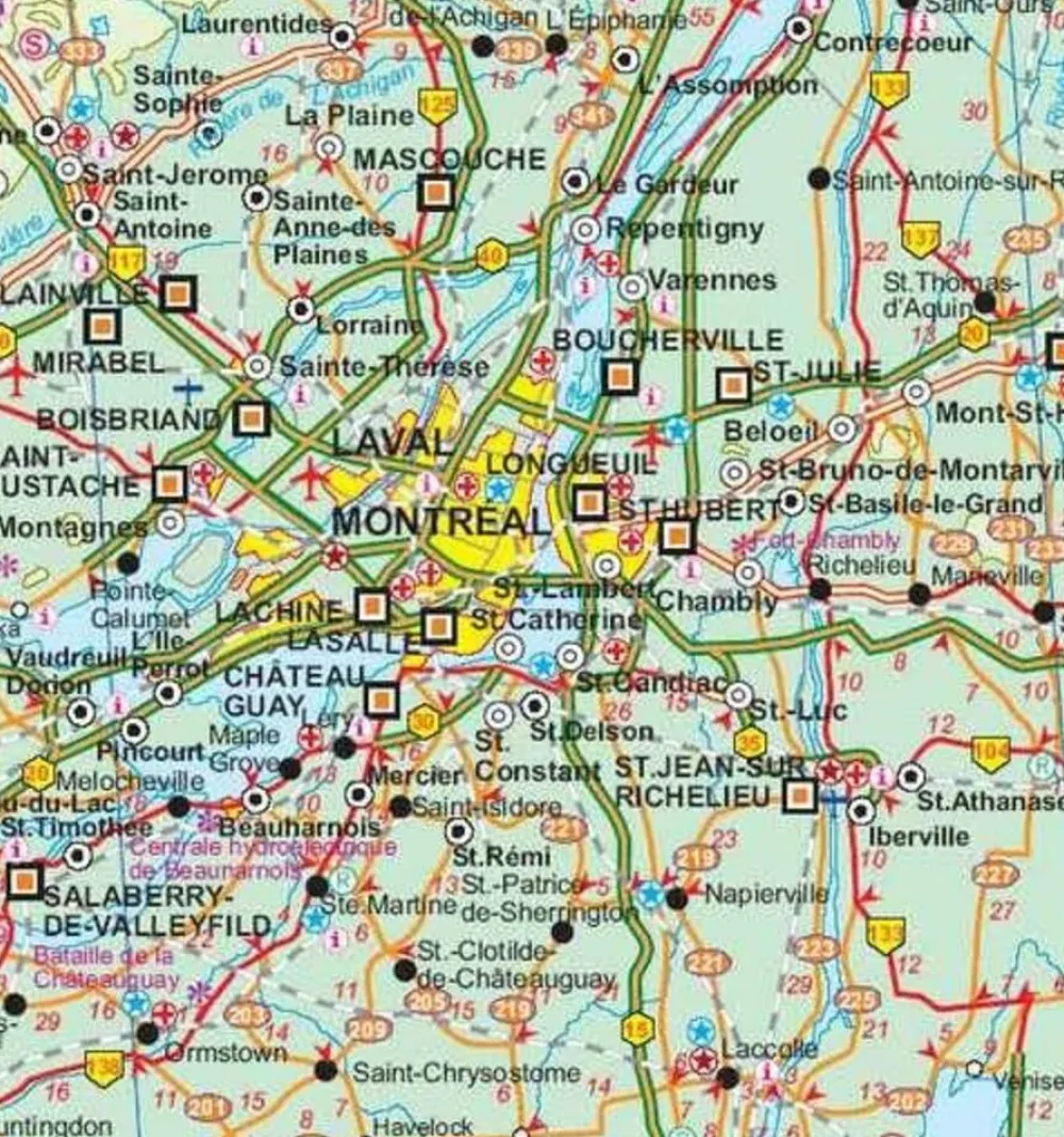
ITMB Canada|Wegenkaart Quebec
€11.86
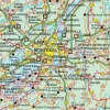
Wegenkaart / landkaart van de provincie Québec:
- Dubbelzijdig bedrukt
- Schaal 1:1.620.000 voor noordelijk deel Quebec
- Schaal 1:1.150.000 voor zuidelijk deel Quebec
- Stadsplattegrondje van Montreal
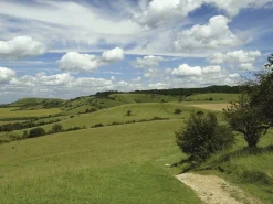
La Belle Province is historically rich, linguistically unique in North America, and attractive for tourism. It is a very large area of land, forcing us to portray the northern portion at a different scale than the more populated southern portion. The map extends to Ottawa in the west and includes most of New Brunswick in the east, as well as all the border areas with the USA to the south. Due to the size of Quebec, the focus of this map is concentrated on providing road information to get around, parks and geographic features, and symbols portraying ski resort areas, urban areas, and road numbers. A basic inset showing the major routes around Montreal is an added feature.
Legend Includes:
Roads by classification, Points of Interest, Mines, Museums, Airports, National Parks, Rivers, Lakes, Mountain Peaks, Waterfalls, Border Crossings, Rest Areas, Hospitals, Campgrounds, Picnic Sites, Ski Areas, Tourist Information, Golf Courses, Fishing Areas, Police Stations, Service Centres, Ports, Viewpoints, and much more.
Bekijk alle
PRODUCTINFORMATIE ITMB WEGENKAART QUEBEC
Be the first to review “ITMB Canada|Wegenkaart Quebec”
Related products
Boeken & Kaarten
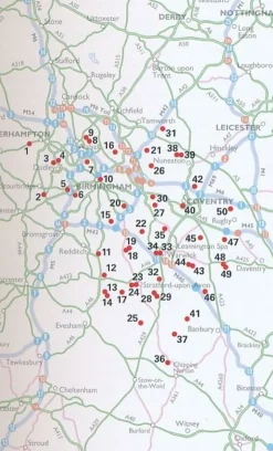
AA Publishing Groot-Brittanië & Ierland|50 Walks in Warwickshire & the West Midlands
Boeken & Kaarten
Michelin Groot-Brittanië & Ierland|Groene Reisgids Weekend Edinburgh
Boeken & Kaarten
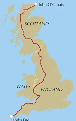
Mountainmedia Groot-Brittanië & Ierland|Scotland end to end Gore-Tex
Boeken & Kaarten
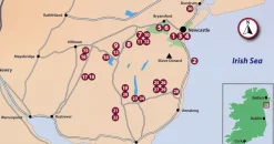
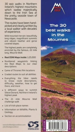
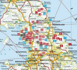
Knife Edge Groot-Brittanië & Ierland|Wandelgids Northern Ireland – The Mourne Mountains
Boeken & Kaarten
Boeken & Kaarten
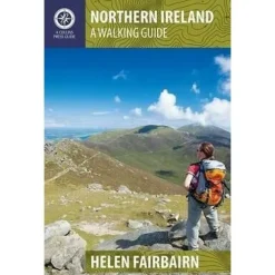
Collins Groot-Brittanië & Ierland|Walking guide to Northern Ireland
Boeken & Kaarten
Boeken & Kaarten
Boeken & Kaarten
Boeken & Kaarten
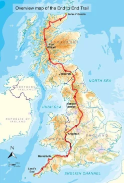
Cicerone Groot-Brittanië & Ierland|Wandelgids End to End Trail

Login
Reviews
There are no reviews yet.