
Sale!

Harvey Maps Groot-Brittanië & Ierland|Wandelkaart XT40 South Downs Way
Original price was: €26.68.€19.31Current price is: €19.31.
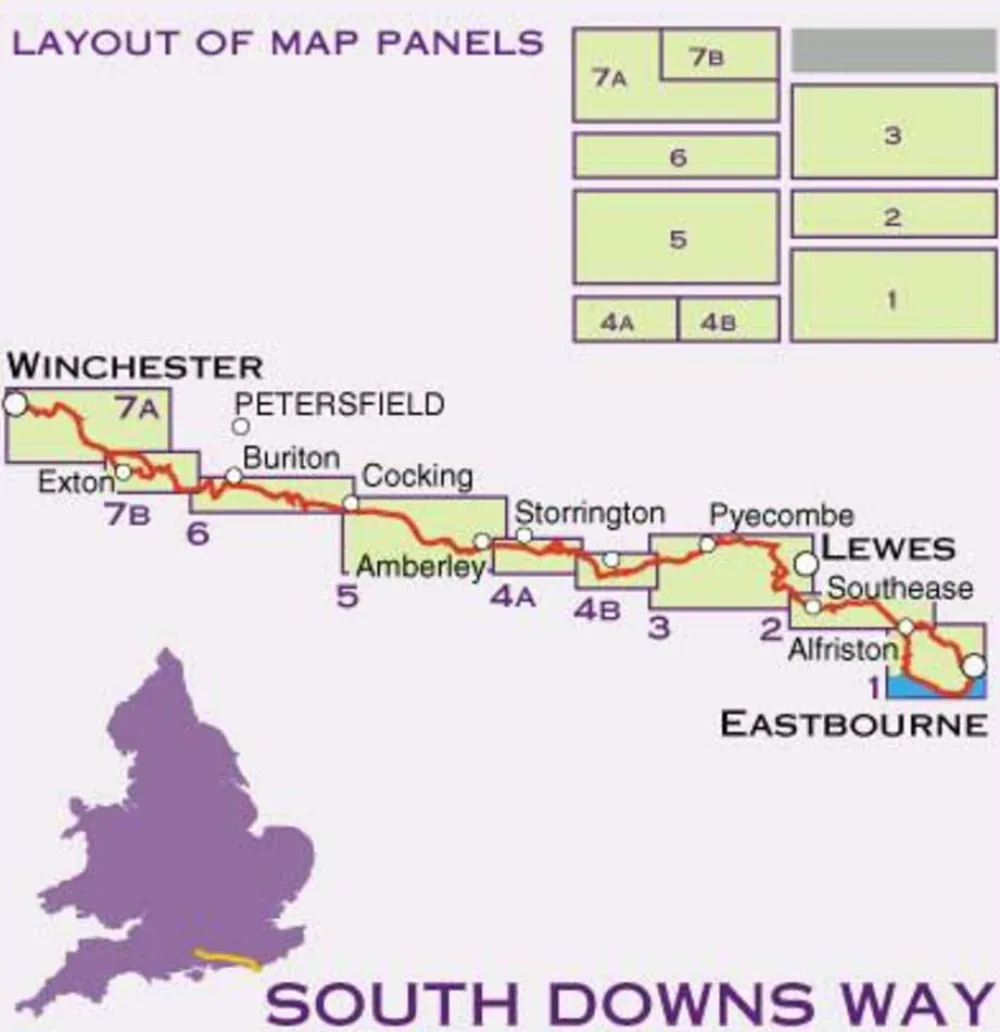
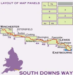
Zeer duurzame waterproof en scheurbestendige wandelkaart van het langeafstandspad National Trail South Downs Way in Zuid-Engeland: het gedeelte tussen Eastbourne naar Winchester.
- gedrukt op waterproof en scheurbestendig papier
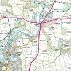
- schaal 1:40.000 (1 cm = 400 m)
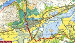
- met hoogtelijnen
- rights of way
- GPS-compatible
- accommodatie
- bezienswaardigheden
- eten en drinken
- Suitable for walkers, cyclists and horse riders with alternative routes clearly shown.
- A leap forward in technical excellence: Tough, durable and 100% waterproof – virtually indestructible in normal use. Compact and light – the map itself weighs just 60gms – a third of the weight of a bulky laminated map. You can fold or refold it time and again, or stuff it in your back pocket and it won’t fall to pieces.
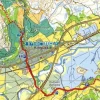
- Shows the entire 162km (101 miles) route between Winchester and Eastbourne on one sheet.Suitable for walkers, cyclists and horse riders with alternative routes clearly shown.
- Information on finding accommodation, camping, food. Directions to the start. Also Ranger Service contact numbers and enlargements of towns/villages showing facilities available and tips on weather and clothing
- Detailed mapping, full legend. National Grid – can be used with GPS. 1:40,000 scale. Supplied in a clear plastic pocket.
Bekijk alle
PRODUCTINFORMATIE HARVEY MAPS WANDELKAART XT40 SOUTH DOWNS WAY
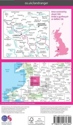
ISBN:
9781851374779
Kaartschaal:
1:40.000
Taal:
Engels
Editie:
2016
Soort:
Wandelkaart, Fietskaart
Be the first to review “Harvey Maps Groot-Brittanië & Ierland|Wandelkaart XT40 South Downs Way”
Related products
Sale!
Original price was: €18.40.€14.71Current price is: €14.71.
Sale!
Boeken & Kaarten
Michelin Groot-Brittanië & Ierland|Groene Reisgids Weekend Edinburgh
Original price was: €14.72.€11.03Current price is: €11.03.
Sale!
Boeken & Kaarten
Original price was: €24.84.€18.39Current price is: €18.39.
Boeken & Kaarten
€17.47
Boeken & Kaarten
€14.62
Sale!
Original price was: €21.16.€15.63Current price is: €15.63.
€16.55
€10.02
Boeken & Kaarten
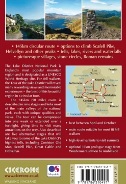
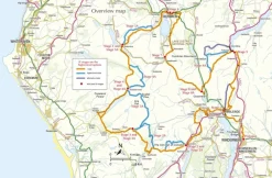
Cicerone Groot-Brittanië & Ierland|Wandelgids Walking the Tour of the Lake District
€21.06
€14.71
€20.14
Boeken & Kaarten
€14.62
Sale!
Boeken & Kaarten
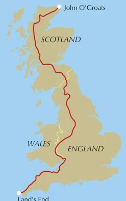
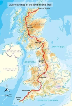
Cicerone Groot-Brittanië & Ierland|Wandelgids End to End Trail
Original price was: €25.76.€19.22Current price is: €19.22.
€10.02
Sale!
Original price was: €12.88.€9.19Current price is: €9.19.
Sale!
Original price was: €20.24.€14.62Current price is: €14.62.
Login
Reviews
There are no reviews yet.