

Harvey Maps Groot-Brittanië & Ierland|Wandelkaart XT40 John O’Groats Trail
€19.31
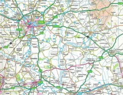
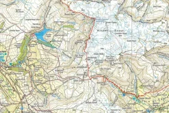
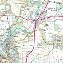
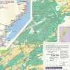
Zeer duurzame, waterproof en scheurbestendige wandelkaart van het langeafstandspad National Trail John O’Groats Trail: van Inverness via Golspie en Wick naar John O’Groats.
- gedrukt op waterproof en scheurbestendig papier
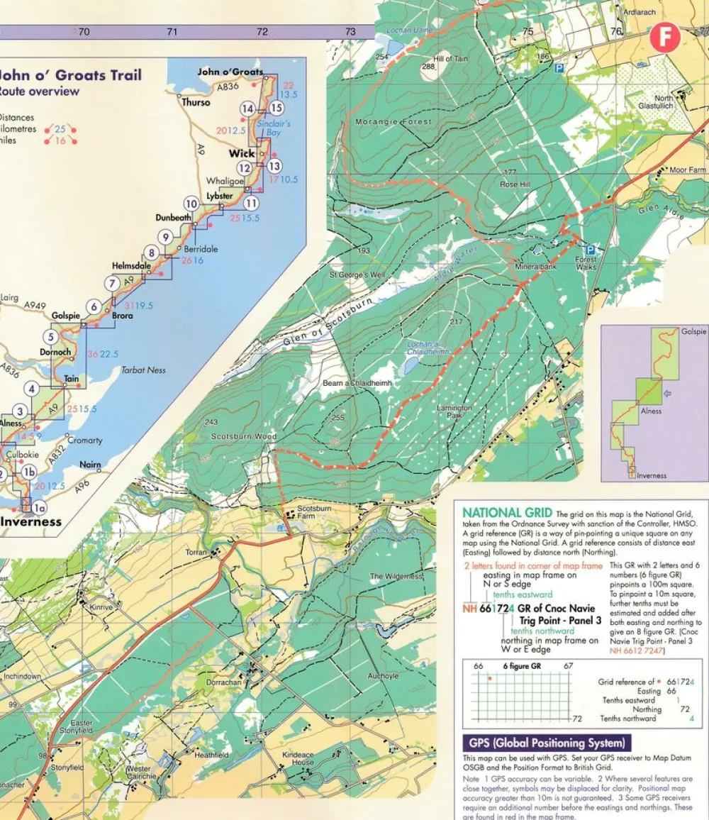
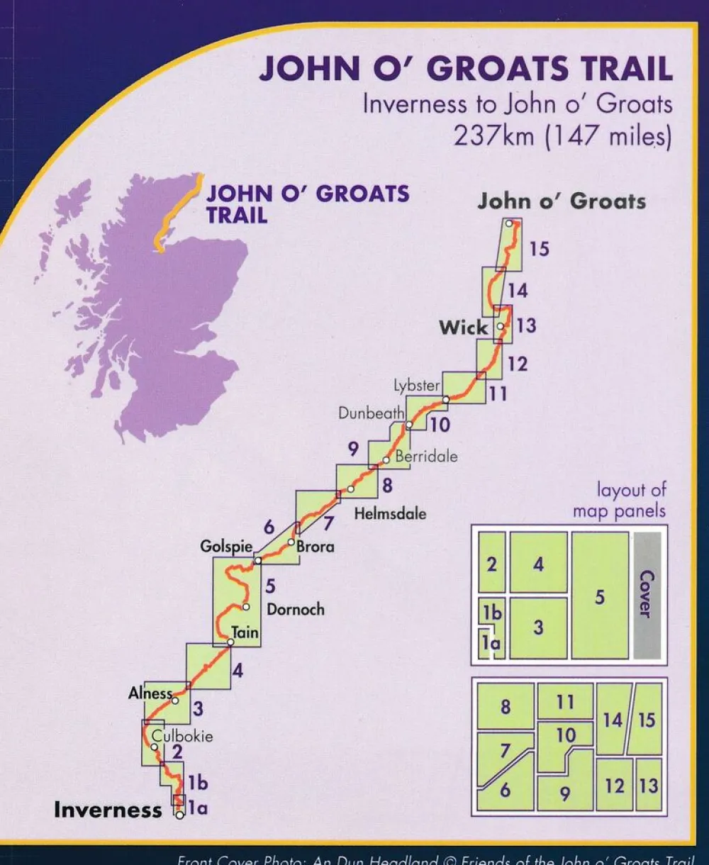
- schaal 1:40.000 1( 1 cm = 400 m)
- hoogtelijnen
- rights of way
- GPS-compatible
- accommodatie
- bezienswaardigheden
- eten en drinken
- hutten, campings, pubs
- GPS-compatible
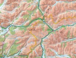
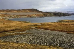
The John o’ Groats Trail is a 237 km (147 miles) coastal walking route from Inverness to John o’ Groats, traversing shorelines, cliff tops, back lanes and footpaths. The walk includes some of the most dramatic scenery in Britain, with sea arches, sea stacks and hidden natural harbours, many of which have ruins of stone buildings from the 19th century.
- Tough, light, durable and 100% waterproof
- Genuine original HARVEY mapping
- Route clearly marked
Bekijk alle
PRODUCTINFORMATIE HARVEY MAPS WANDELKAART XT40 JOHN O’GROATS TRAIL
Be the first to review “Harvey Maps Groot-Brittanië & Ierland|Wandelkaart XT40 John O’Groats Trail”
Related products


Boeken & Kaarten
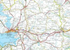
Freytag en Berndt Groot-Brittanië & Ierland|Wegenkaart Schotland
Boeken & Kaarten
Boeken & Kaarten

Boeken & Kaarten
Michelin Groot-Brittanië & Ierland|Groene Reisgids Weekend Edinburgh

Boeken & Kaarten
Mountainmedia Groot-Brittanië & Ierland|Scotland end to end Gore-Tex
Boeken & Kaarten
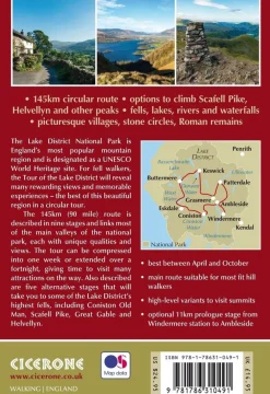
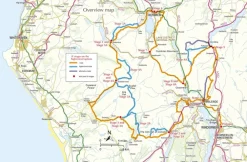
Cicerone Groot-Brittanië & Ierland|Wandelgids Walking the Tour of the Lake District
Boeken & Kaarten
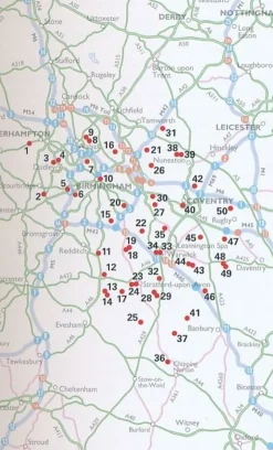
AA Publishing Groot-Brittanië & Ierland|50 Walks in Warwickshire & the West Midlands

Boeken & Kaarten
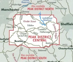
Harvey Maps Groot-Brittanië & Ierland|Wandelkaart Ultramap XT40 Peak District Central
Boeken & Kaarten
Harvey Maps Groot-Brittanië & Ierland|Wandelkaart Ultramap XT40 Yorkshire Dales South West
Boeken & Kaarten
Login
Reviews
There are no reviews yet.