
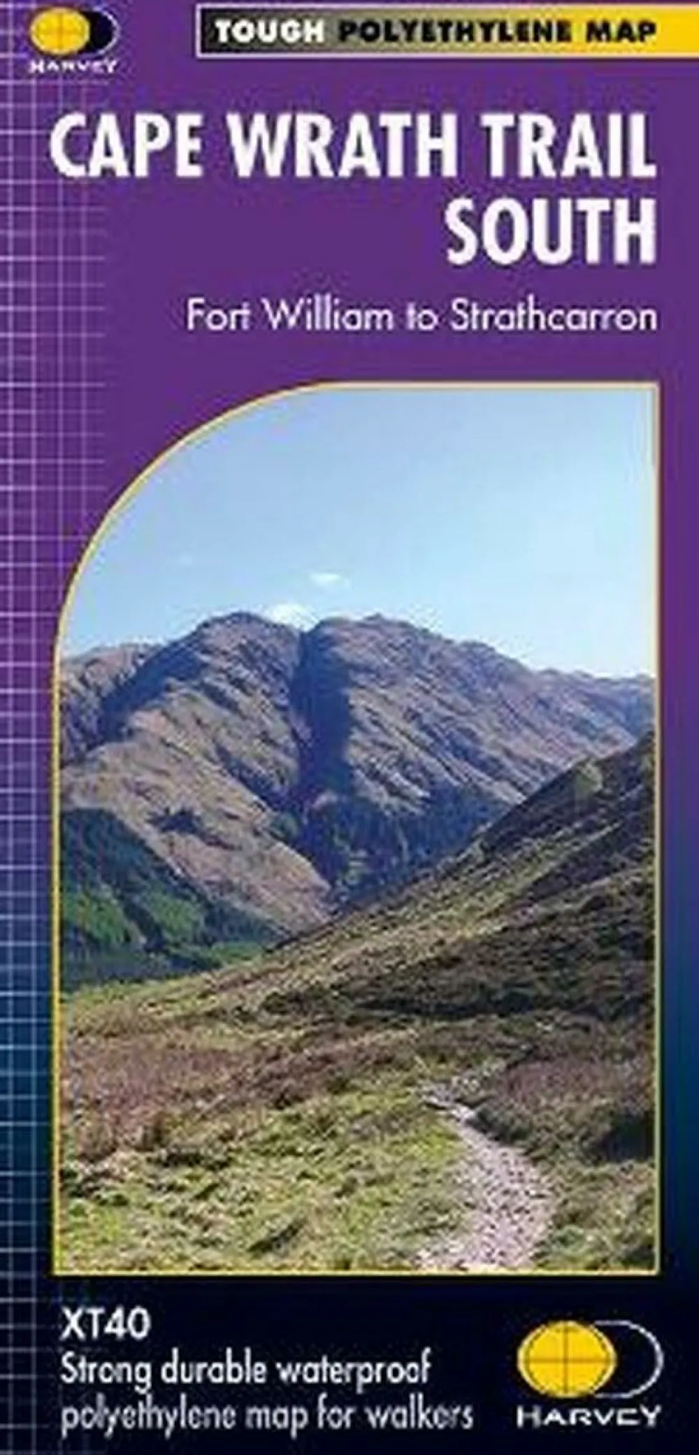
Harvey Maps Groot-Brittanië & Ierland|Wandelkaart Cape Wrath Trail Zuid XT40
€22.99
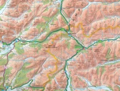
Zeer duurzame, waterproof en scheurbestendige wandelkaart van het zuidelijke traject van het langeafstandspad National Trail Cape Wrath Trail: van Fort William naar Strathcarron (met een alternatieve, oostelijke route)
- Gedrukt op waterproof en scheurbestendig papier
- Schaal 1:40.000 1( 1 cm = 400 m)
- Hoogtelijnen
- Rights of way
- GPS-compatible
- Accommodatie
- Bezienswaardigheden
- Eten en drinken
- Hutten, campings, pubs
- GPS-compatible
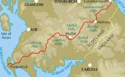
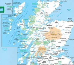
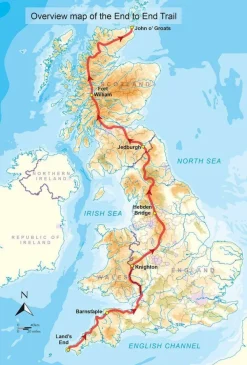
The Cape Wrath Trail is a challenging route from Fort William to Cape Wrath. It is around 200 miles long and passes through some of Scotland’s wildest and most spectacular scenery.
This map covers the southern section of the route, from Fort William to Strathcarron.
The trail has evolved from use and is not an officially recognised National Trail. There is no single definitive route. There are various ways of tackling the traverse all of which are highlighted on the maps leaving the actual route choice to the individual walker. This is rough country not to be underestimated. Some sections of the route will require an overnight stop in the mountains. This will either have to be wild camping or the use of a bothy. The bothies are also shown on the map.
Bekijk alle
PRODUCTINFORMATIE HARVEY MAPS WANDELKAART CAPE WRATH TRAIL ZUID XT40
Be the first to review “Harvey Maps Groot-Brittanië & Ierland|Wandelkaart Cape Wrath Trail Zuid XT40”
Related products


Boeken & Kaarten
Boeken & Kaarten
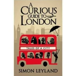
Bantam Press Groot-Brittanië & Ierland|A Curious guide to London
Boeken & Kaarten
Boeken & Kaarten
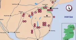
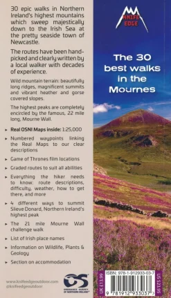
Knife Edge Groot-Brittanië & Ierland|Wandelgids Northern Ireland – The Mourne Mountains
Boeken & Kaarten
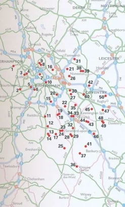
AA Publishing Groot-Brittanië & Ierland|50 Walks in Warwickshire & the West Midlands
Boeken & Kaarten
Boeken & Kaarten
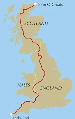
Cicerone Groot-Brittanië & Ierland|Wandelgids End to End Trail

Boeken & Kaarten


Boeken & Kaarten
Freytag en Berndt Groot-Brittanië & Ierland|Wegenkaart Schotland
Login

Reviews
There are no reviews yet.