

Cicerone Groot-Brittanië & Ierland|Wandelgids Walking in Norfolk
€17.47
Goede, Engelstalige wandelgids met 40 dagwandelingen in Norfolk: Met beschrijving, bezienswaardigheden onderweg, niveau wandeling, overzichtskaartje per wandeling en niet te vergeten: de lokale pub. Met wandelingen in The Broads National Park.
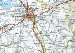
The four most useful OS Landranger maps are 132, 133, 134 and 144.
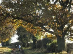
Guidebook to 40 easy to moderate walks in the English county of Norfolk. Circular routes of 4-12 miles show off the area’s surprisingly varied landscape: the Broads, Brecks and Fens and coastal dunes, salt marsh and tidal creeks. Also includes information on Norfolk’s rich history and unique plants and wildlife.
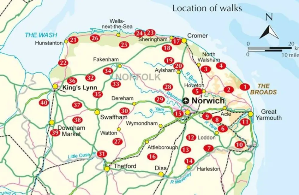
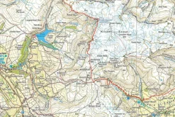
This book describes 40 easy-to-moderate circular day walks, grouped by area: Northeast coast and the Broads; South Norfolk, the Yare and the Waveney; North Norfolk and coast; Central Norfolk and Breckland and West Norfolk and Fens. Each walk is described step-by-step, illustrated with 1:40K OS map extracts and packed with historical, geological and other information about the landscape the route passes through.
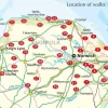
The Fenland region of Norfolk’s far west is flat and low-lying, as are the marshes and waterways of the Broads in the east, but between these two extremes there is a great deal of topography going on. The county is far more varied than most outsiders imagine, with several distinct and unique landscapes. As well as Broads and the Fens, it has the sandy Brecks, rolling farmland, ancient woodland, meandering rivers and the gorgeous North Norfolk coast with its beaches, shingle banks, salt marshes and tidal mud flats.
Bekijk alle
PRODUCTINFORMATIE CICERONE WANDELGIDS WALKING IN NORFOLK
Be the first to review “Cicerone Groot-Brittanië & Ierland|Wandelgids Walking in Norfolk”
Related products
Boeken & Kaarten
Harvey Maps Groot-Brittanië & Ierland|Wandelkaart Ultramap XT40 Yorkshire Dales South West
Boeken & Kaarten
Boeken & Kaarten
Michelin Groot-Brittanië & Ierland|Groene Reisgids Weekend Edinburgh
Boeken & Kaarten
Boeken & Kaarten
Mountainmedia Groot-Brittanië & Ierland|Scotland end to end Gore-Tex
Boeken & Kaarten
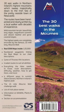
Knife Edge Groot-Brittanië & Ierland|Wandelgids Northern Ireland – The Mourne Mountains

Boeken & Kaarten
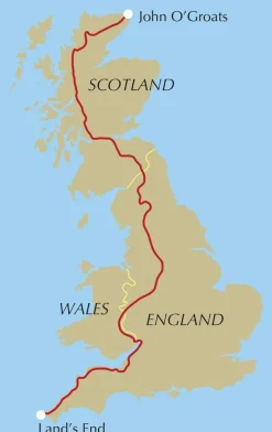
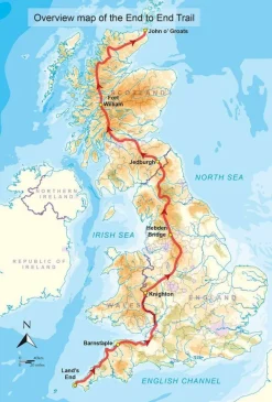
Cicerone Groot-Brittanië & Ierland|Wandelgids End to End Trail
Boeken & Kaarten


Boeken & Kaarten
Freytag en Berndt Groot-Brittanië & Ierland|Wegenkaart Schotland
Login
Reviews
There are no reviews yet.