
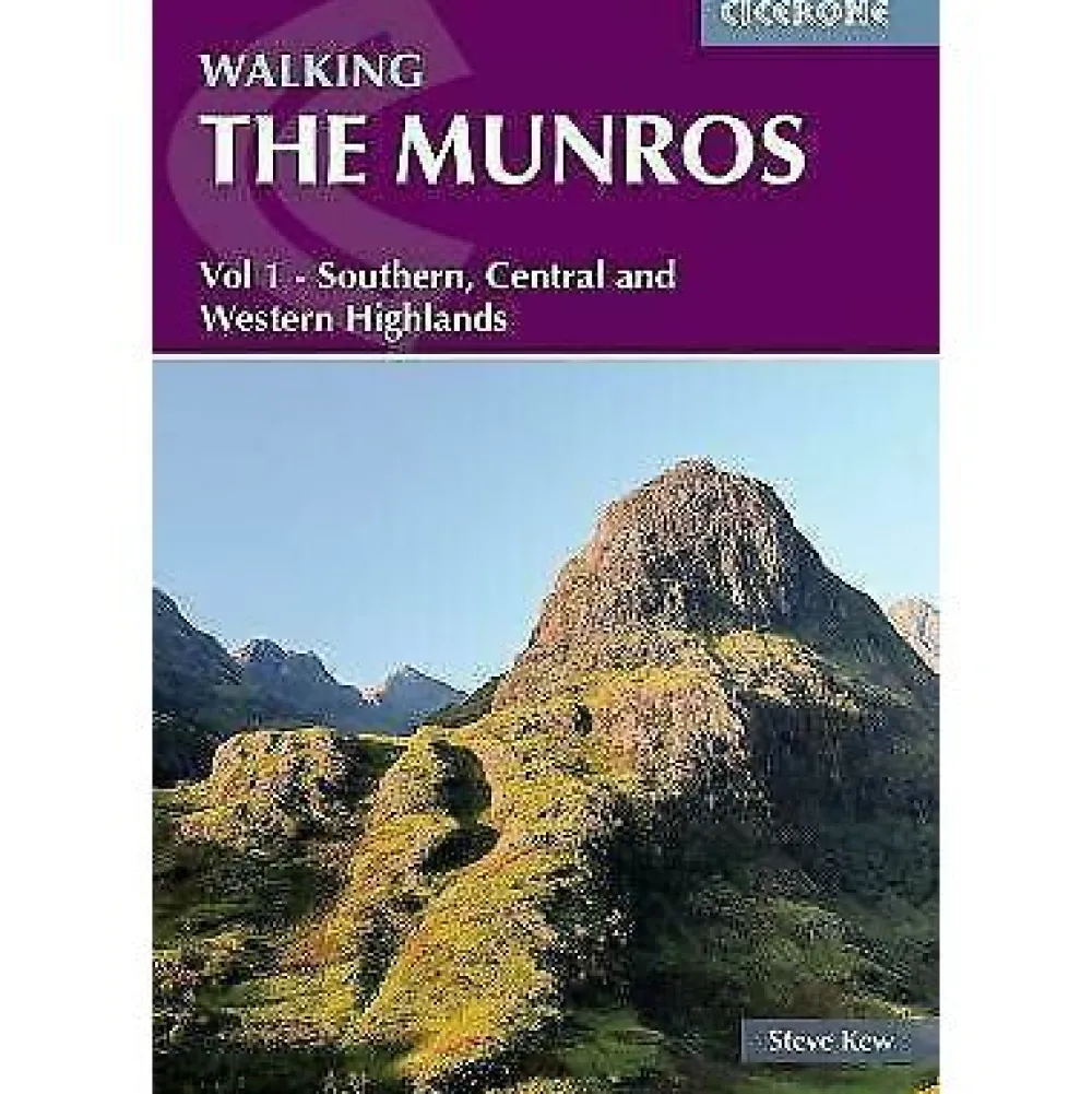
Cicerone Groot-Brittanië & Ierland|Wandelgids Walking hte Munros Volume 1
Original price was: €27.60.€20.14Current price is: €20.14.
Een duidelijke wandelgids van het zuiden, midden en westelijk Schotland, met kaarten.
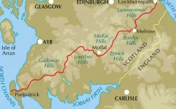
Guidebook to walking the Munros in southern, central and western Highlands. Describes 69 challenging routes across 139 of the iconic 3000ft+ mountains covering areas such as Glencoe, Bridge of Orchy and Mull. Includes routes up Ben More, Ben Alder, Ben Lomond and Ben Nevis, the highest mountain in the British Isles. Volume 1 of two guidebooks.
Seasons
The guide is intended for summer hillwalkers (usually April/May to October in Scotland). In winter conditions the routes become more serious mountaineering expeditions requiring appropriate skills, equipment and experience.
Centres
Arrochar, Crianlarich, Killin, Pitlochry, Tyndrum, Glencoe, Fort William, Spean Bridge, Dalwhinnie, Braemar, Glenshee
Difficulty
Most of the Munros are straightforward walks but some involve ridge walking, scrambling, river crossing and, in one or two instances, climbing. Route difficulties are clearly described with an indication of the skills needed, although an ability to navigate and to adjust plans in light of prevailing weather is assumed.
Must See
69 routes in Glencoe, Glen Shee and the southern Cairngorms, the Mamores, Mull, Ben Alder, Ben Nevis and the Aonachs, Schiehallion, Ben Lawers, Ben Lomond and the ‘Arrochar Alps’. The routes take you to Loch Tay, Loch Ericht, Loch Etive, Loch Lyon, Loch Lomond, Loch Earn, Loch Leven and others.
Half of a two-volume set describing challenging and inspiring routes to climb Scotland’s 282 3000ft+ mountains, this guide covers the southern, central and western Highlands (south of the Great Glen), taking in stunning areas such as Glen Coe, Glen Shee, Lochaber and Mull.
69 demanding and inspiring routes are described, covering 139 Munro mountains. Including both popular and lesser-known routes, the guide is ideal both for Munro-baggers and those who simply love great mountain walking. This volume includes the iconic Ben Nevis, Buachaille Etive Mor and Aonach Eagach ridge as well as the Mamores, Grey Corries and Arrochar Alps. Volume 2 details the other 143 Munros, covering the northern Highlands, Cairngorms and Isle of Skye.
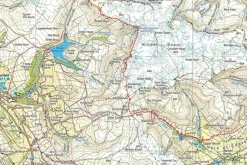
The half-day and full-day walks and scrambles range from 7km to 48km (with the option to reduce walking distance on some of the longer routes by cycling the approach). Detailed route description and 1:100K mapping is accompanied by information on difficulty, mapping, parking, access and nearby accommodation. The guide also includes handy lists of the Munros, by height and alphabetically – perfect for peak-baggers – as well as useful details on Gaelic names.
Bekijk alle
PRODUCTINFORMATIE CICERONE WANDELGIDS WALKING HTE MUNROS VOLUME 1
Be the first to review “Cicerone Groot-Brittanië & Ierland|Wandelgids Walking hte Munros Volume 1”
Related products
Boeken & Kaarten
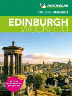
Michelin Groot-Brittanië & Ierland|Groene Reisgids Weekend Edinburgh
Boeken & Kaarten
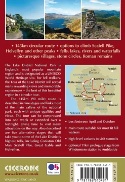
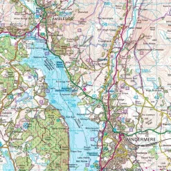
Cicerone Groot-Brittanië & Ierland|Wandelgids Walking the Tour of the Lake District
Boeken & Kaarten
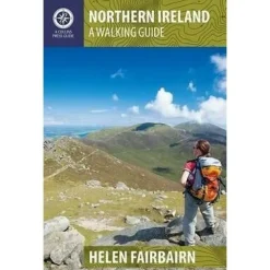
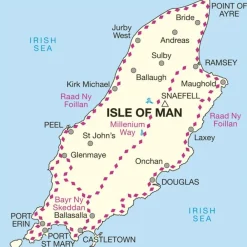
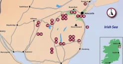
Collins Groot-Brittanië & Ierland|Walking guide to Northern Ireland
Boeken & Kaarten
Boeken & Kaarten
Boeken & Kaarten
Boeken & Kaarten
Boeken & Kaarten
Harvey Maps Groot-Brittanië & Ierland|Wandelkaart Ultramap XT40 Peak District Central
Boeken & Kaarten
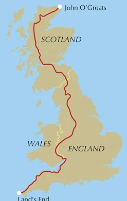
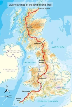
Cicerone Groot-Brittanië & Ierland|Wandelgids End to End Trail
Boeken & Kaarten
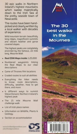
Knife Edge Groot-Brittanië & Ierland|Wandelgids Northern Ireland – The Mourne Mountains
Boeken & Kaarten
Login

Reviews
There are no reviews yet.