
Cicerone Groot-Brittanië & Ierland|Walking the Pembrokeshire Coast Path routekaart
Original price was: €14.72.€10.94Current price is: €10.94.
Engelstalig compact routekaartboekje van de 14 etappes vanhet Pembrokeshire Coast Path (291 km). Ingetekend op Ordnance Survey kaarten van 1:25.000.
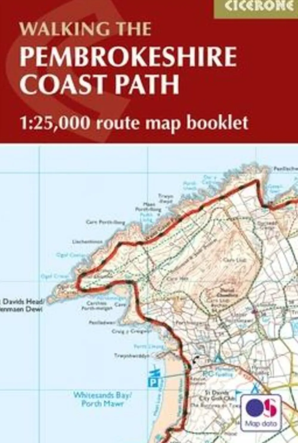
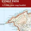
Map of the 182-mile (291km) Pembrokeshire Coast Path National Trail, between Amroth and St Dogmaels. This booklet is included with the Cicerone guidebook to the trail, and shows the full route on Ordnance Survey 1:25,000 maps. The route typically takes a fortnight to walk, and is suitable for walkers at all levels of experience.
All the mapping you need to complete the 180 mile/290km long-distance Pembrokeshire Coast Path National Trail from Amroth to St Dogmaels.
An accompanying Cicerone guidebook – The Pembrokeshire Coast Path – describes the full route in both directions with lots of other practical and historical information. NOTE: The accompanying guidebook includes a copy of this map booklet.
This booklet of Ordnance Survey 1:25,000 Explorer maps has been designed for convenient use on the trail. It shows the full and up-to-date line of the Pembrokeshire Coast Path, along with the relevant extract from the OS Explorer map legend. It can be used when walking the trail in either direction. It is conveniently sized for slipping into a jacket pocket or top of a rucksack and comes in a clear PVC sleeve.
It typically takes two weeks to walk the whole trail, but it lends itself equally to day walking. It is suitable for walkers at all levels of experience. Renowned for its spectacular scenery, flowers, and wildlife, this route takes in some of Britain’s finest coastal walking, in an area steeped in history.
Bekijk alle
PRODUCTINFORMATIE CICERONE WALKING THE PEMBROKESHIRE COAST PATH ROUTEKAART
Be the first to review “Cicerone Groot-Brittanië & Ierland|Walking the Pembrokeshire Coast Path routekaart”
Related products

Boeken & Kaarten


Boeken & Kaarten
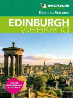
Michelin Groot-Brittanië & Ierland|Groene Reisgids Weekend Edinburgh
Boeken & Kaarten
Bantam Press Groot-Brittanië & Ierland|A Curious guide to London
Boeken & Kaarten
Boeken & Kaarten
Boeken & Kaarten
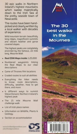
Knife Edge Groot-Brittanië & Ierland|Wandelgids Northern Ireland – The Mourne Mountains

Boeken & Kaarten
Mountainmedia Groot-Brittanië & Ierland|Scotland end to end Gore-Tex


Boeken & Kaarten
Freytag en Berndt Groot-Brittanië & Ierland|Wegenkaart Schotland
Boeken & Kaarten
Boeken & Kaarten
Login
Reviews
There are no reviews yet.