
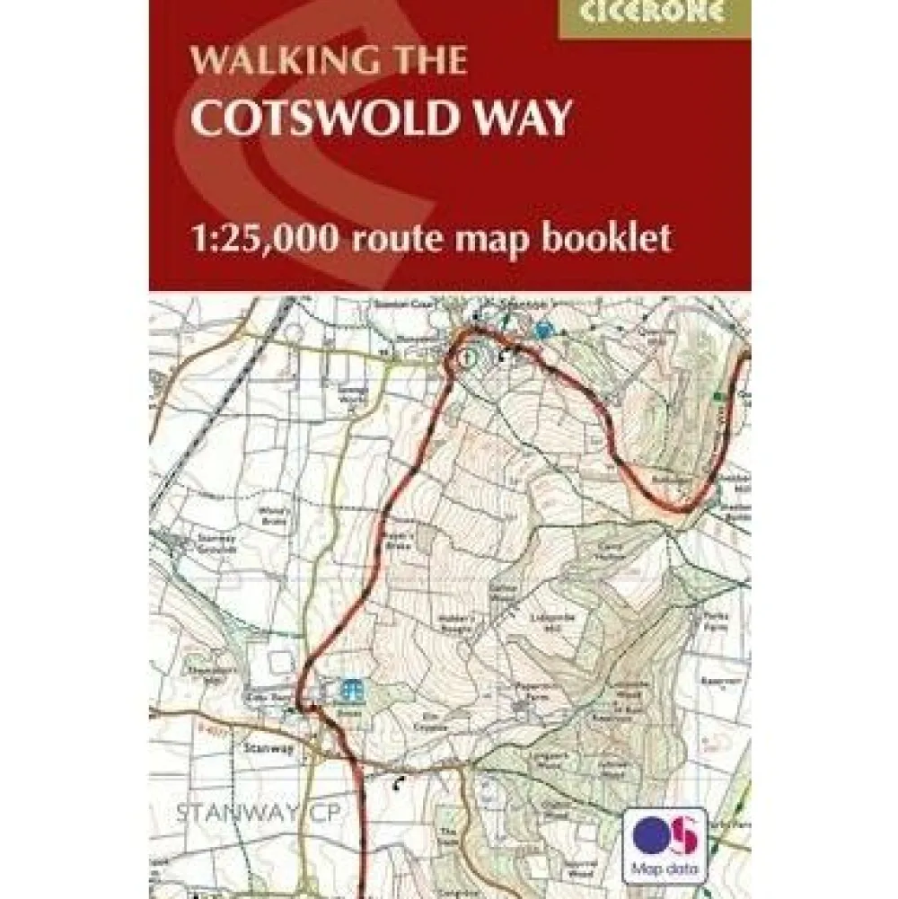
Cicerone Groot-Brittanië & Ierland|Walking the Cotswolds Way routekaart 1:25.000
Original price was: €12.88.€10.02Current price is: €10.02.
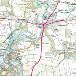
Map of the 102 mile (163km) Cotswold Way National Trail, between Chipping Camden and Bath. The trail typically takes a fortnight to walk, and is suitable for walkers at all levels of experience. This compact booklet of Ordnance Survey 1:25,000 maps shows the full route, providing all of the mapping you need to complete the trail.
All the mapping you need to complete the Cotswold Way National Trail between Chipping Campden and Bath, across the Cotswolds AONB.
An accompanying Cicerone guidebook – The Cotswold Way – describes the full route in both directions with lots of other practical and historical information. NOTE: The accompanying guidebook includes a copy of this map booklet.
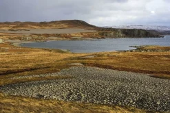
Following the Cotswold escarpment, the Cotswold Way provides dramatic and far-reaching views across the Severn Vale towards the Welsh hills, plunging down to visit honey-coloured villages, old market towns and the elegant and historic city of Bath. The longest of the 13 stages is 10 miles, the shortest 6 miles: these are dictated by the existence of overnight accommodation.
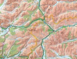
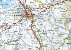
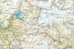
This booklet of Ordnance Survey 1:25,000 Explorer maps has been designed for convenient use on the trail. It shows the full and up-to-date line of the Cotswold Way, along with the relevant extract from the OS Explorer map legend. It is conveniently sized for slipping into a jacket pocket or top of a rucksack and comes in a clear PVC sleeve.
Bekijk alle
PRODUCTINFORMATIE CICERONE WALKING THE COTSWOLDS WAY ROUTEKAART 1:25.000
Be the first to review “Cicerone Groot-Brittanië & Ierland|Walking the Cotswolds Way routekaart 1:25.000”
Related products

Boeken & Kaarten
Mountainmedia Groot-Brittanië & Ierland|Scotland end to end Gore-Tex
Boeken & Kaarten


Boeken & Kaarten
Freytag en Berndt Groot-Brittanië & Ierland|Wegenkaart Schotland
Boeken & Kaarten
Boeken & Kaarten
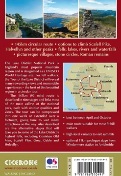
Cicerone Groot-Brittanië & Ierland|Wandelgids Walking the Tour of the Lake District
Boeken & Kaarten
Bantam Press Groot-Brittanië & Ierland|A Curious guide to London
Boeken & Kaarten

Boeken & Kaarten
Boeken & Kaarten
Michelin Groot-Brittanië & Ierland|Groene Reisgids Weekend Edinburgh
Boeken & Kaarten
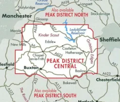
Harvey Maps Groot-Brittanië & Ierland|Wandelkaart Ultramap XT40 Peak District Central
Boeken & Kaarten
AA Publishing Groot-Brittanië & Ierland|50 Walks in Warwickshire & the West Midlands
Login

Reviews
There are no reviews yet.